Log in
All resources
Create a design
15 Free Images of 1680s Maps Of Germany
bibliothèque nationale de france
description de l'universe
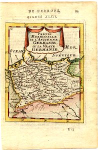
alain manesson mallet
maps with cartouches
atlas van der hagen
atlas van der hagen (volume 1)
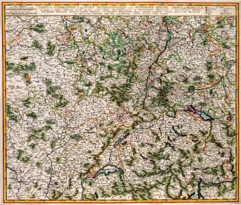
1680s maps of rhineland-palatinate
maps of vangiones by sanson
description de l'universe
1680s maps of germany
maps with cartouches
old maps of toul
maps by willem and johannes blaeu
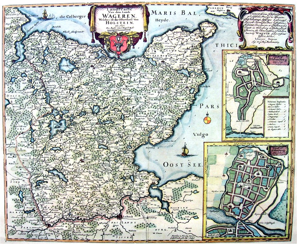
kreis plön
german empire
east germany
old maps of ravenstein, germany
maps made in the 17th century
description de l'universe
1680s maps of germany
maps of the course of the rhine by guillaume sanson
guillaume sanson
map of the upper rhenian circle by sanson
1680s maps of north rhine-westphalia
1680s maps of rhineland-palatinate
maps of vangiones by sanson
map of the circle of westfalia by sanson
1680s maps of germany
description de l'universe
1680s maps of germany
description de l'universe
1680s maps of germany
description de l'universe
1680s maps of germany
map of the circle of franconia by sanson
1680s maps of bavaria
1680s maps of rhineland-palatinate
maps of vangiones by sanson
1 - 15 of 15
/ 1